Capture more ground per image – 61 MP full-frame sensor
Get maximum coverage – adaptive speed automatically adjusts to the drone’s pace
Get CAD/GIS-Ready files in one, smooth flow
Efficiency means cutting out manual, error-prone steps. WingtraRay keeps everything in one workflow — no file conversions, no switching between apps. Just plan, fly, and process, all in a single connected system.
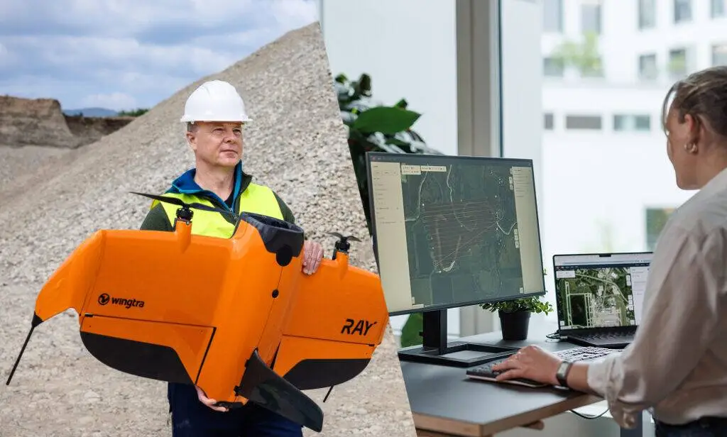
WingtraRay is built for one-person operation — so while that one person collects data in the field, the rest of the team can stay focused on analysis or client delivery.
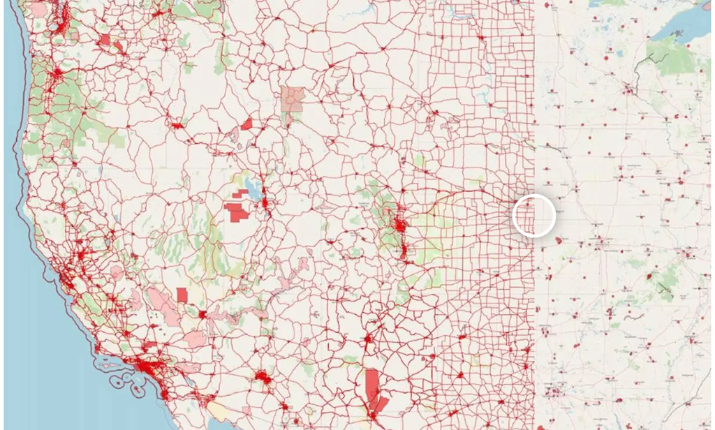
Survey legally and safely – no waiver, no waiting!
Falling in the 3 OOP FAA category, WingtraRAY can legally map and survey in most of these red zones—no waivers needed. Only a few restricted areas remain (e.g. near airports, national parks or military zones).
Avoid obstacles mid-flight
Detect static obstacles up to 100 meters ahead. giving you extra security throughout the flight.
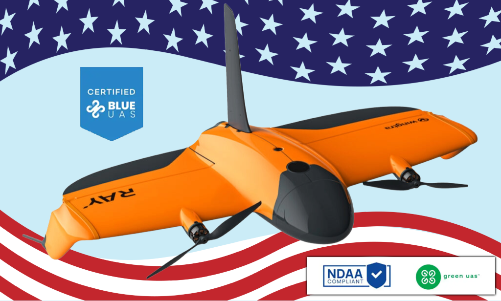
NDAA, Blue and Green UAS cleared
Meeting the highest cybersecurity standards and opening the door to civil government and sensitive projects.
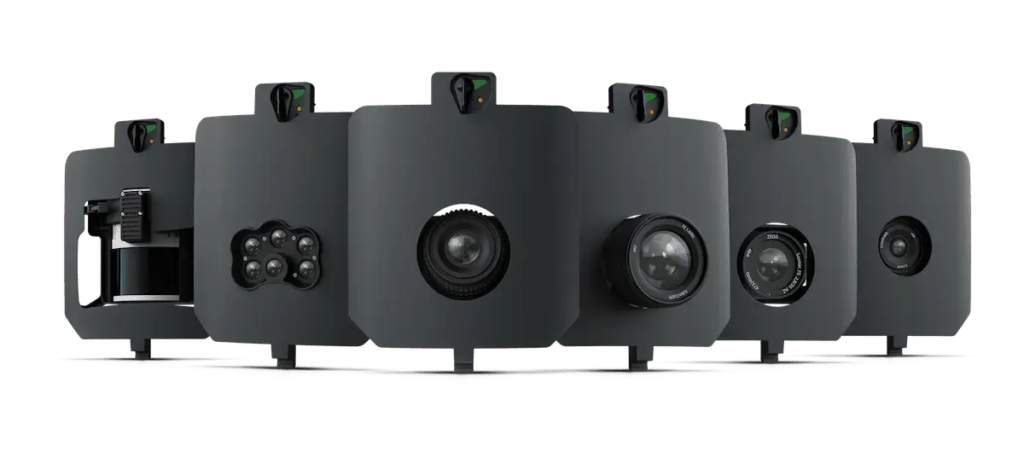
Choose the best sensor for the job!
Deliver more kinds of results — from mm-level inspection to LiDAR to high-accuracy 3D models — all on one survey-focused platform built to grow with you.