Automated Surveying for Construction and Aggregates
Sodex Innovations – Automated Real-Time Terrain Documentation for Civil Engineering and Aggregates
Survey-grade 3D data for earthmoving, aggregates, utility construction, and infrastructure projects that demand accurate, consistent up-to-date site documentation.
Construction and aggregates teams face the same challenges: surveying crews stretched across too many sites, drone data that takes days to process, and documentation gaps that lead to rework, disputes, and missed billing.
Sodex Innovations takes scheduling, waiting, and slow data exchange out of the equation. Our solutions enable earthmoving, aggregate, pipeline, and infrastructure companies to make smarter decisions through real-time data derived from automated terrain documentation.
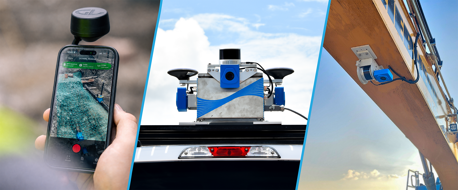
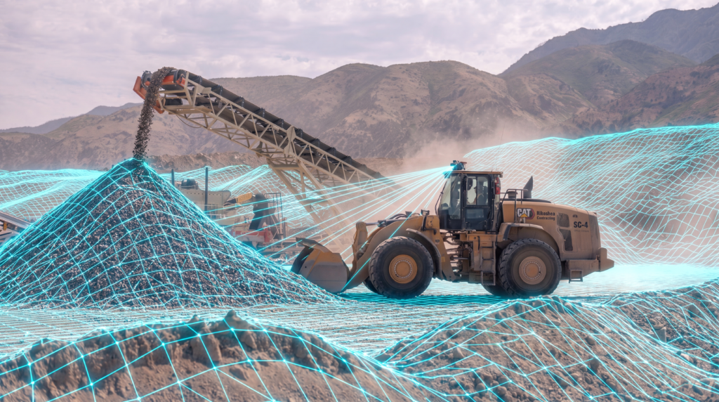
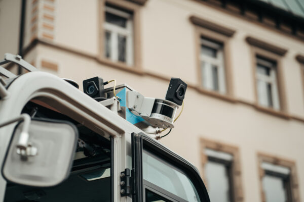
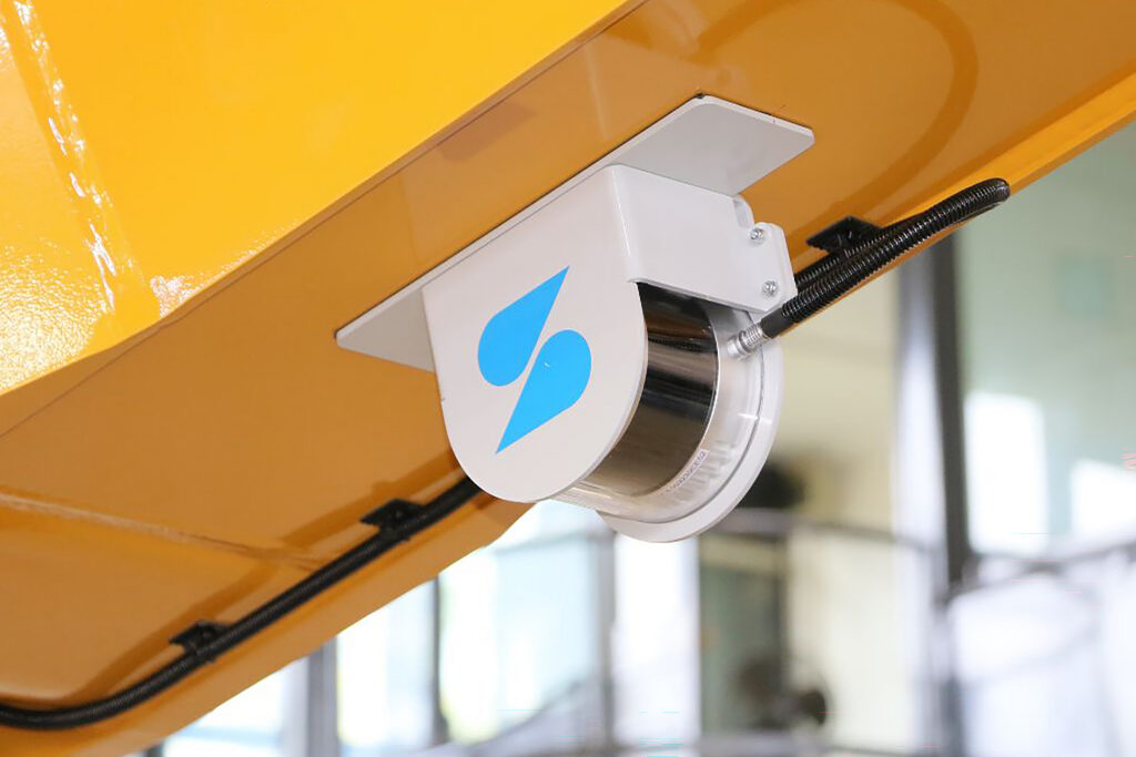
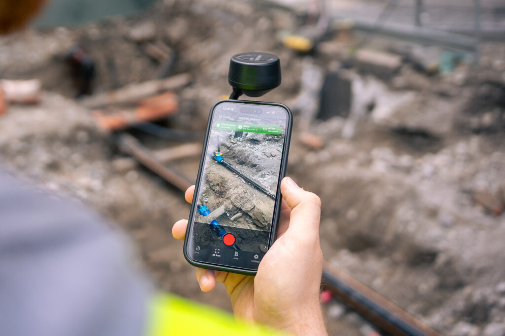
The ecosystem of machine-mounted LiDAR scanners, handheld photogrammetry devices, and cloud-based processing delivers survey-grade 3D data with minimal manual intervention, continuously captured during normal operations without dedicated personnel or production downtime. Stockpile monitoring, cross-section checks, volume calculations, and reporting have never been this easy.
Survey data arrives almost immediately, not next week.
Your machine captures a live point cloud while it works. An up-to-date model is available for review on the web almost immediately.
Volumes you can invoice against.
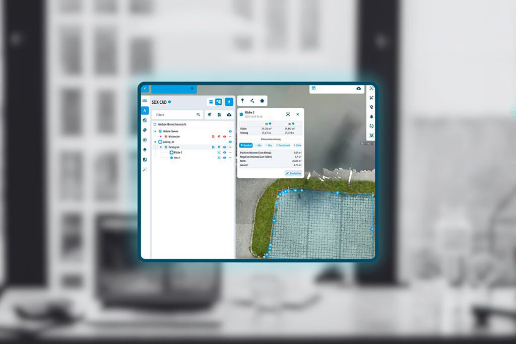
Track cut and fill throughout the day and calculate material quantities without pulling anyone off a machine.
A record that holds up.
3D models are enhanced with automatically captured photos, giving you visual documentation of progress and quality to hand to an owner or engineer.
One platform. Many data sources.
SDX-Cloud processes and combines project data from Sodex devices, third-party drones, terrestrial scanners, GNSS, total stations, and machine control systems in one centralized platform.
Data that fits your existing workflow.
Export to Trimble Business Center or any CAD-based program, or work directly in SDX-Cloud.
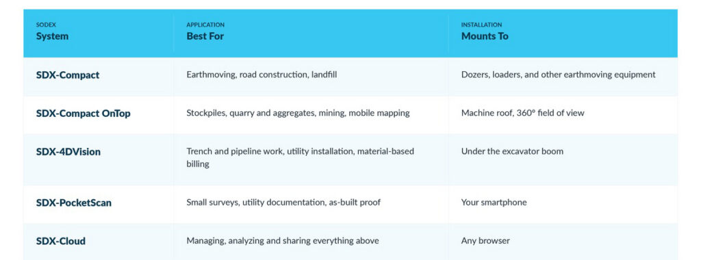
Sodex builds a purpose-specific system for each type of machine and each type of work.
Backed by SITECH Intermountain
Buying the hardware is the easy part. Making it work inside your existing technology stack is where a dealer earns their keep.
SITECH Intermountain provides full training and technical support for the entire Sodex lineup. Our technicians already know how your Trimble machine control, positioning systems, and project software fit together — so we can integrate Sodex without breaking what’s already working. We handle installation, hands-on operator training, ongoing support, and system optimization for contractors across Utah and Southwest Wyoming.
Call 801-716-7777 to talk with a specialist or schedule a demo on your own machines.